Free Software for Data Editors
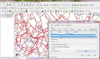
Quantum GIS is open source software that allows users to create and edit their own geospatial information as well as visualizing it and publishing it for other people to make use of. The software connects users with a huge database of geospatial data, which can also be utilized and manipulated in a whole host of different ways.
People who are trying to determine spatial patterns in a particular area are likely to find that Quantum GIS is a very useful tool. This data can be applied to a number of different fields such as town planning, while anyone who is preparing to establish a new business in an area of a town or city will be able to see at a glance whether or not their business would be a good fit, while there are lots of different features to make use of.
One of the things that makes Quantum GIS so versatile is the fact that it can be used on both desktop computers and smartphones. This helps to broaden the scope of the software so that it can be used professionally while in a certain location as well as back at the office. The only real downside is that for the time being the mobile version only runs smoothly on the Android platform, which could be a bit frustrating for iOS users.
Advertisement


