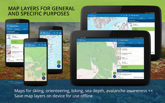
Norgeskart Outdoors - Get to Know the Topography of Norway
Screenshots
Do you want to see what’s near you, as well as the region you are in? Or do you want to get to know all about the topography of Norway? If you are a local or are just travelling to Norway, the app Norgeskart Outdoors is the perfect companion for you. With this app, you can do anything from checking your location to planning your trip. The app is very easy to use, and does not require registration or logging in. All the functionality is available offline, without mobile coverage.
The app uses the Norgeskart data portal, which is the official online portal for Norgeskart.
With Norgeskart Outdoors, you can:
- Get topographical maps for Norway, Svalbard, Jan Mayen, Sweden, and places in Norway that you are interested in.
- View and search the map data on mobile devices or computers.
- Get access to all Norgeskart maps for mobile devices or computers.
- Look up the current conditions of the weather.
- Look up the amount of snow or water.
- View the registration of the points of interest (POIs).
- Find information about the roads and trails.
- View the route of the day.
- Find information about the hiking routes.
- Create trip suggestions and record them. The trip suggestions are sorted by distance or duration.


