Latitude Longitude Download
Screenshots
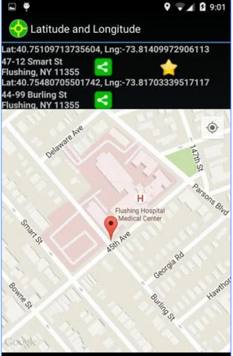
Latitude Longitude is a newly developed mobile app that combines two important technologies to help users locate where they are in the world and what they want to do there. Users won't need to pay for any services like GPS navigation applications before using the Latitude Longitude tools. You can create hybrid maps with Latitude Longitude so that you can enjoy even more detailed location-based information about the places you're visiting. Hybrid maps combine some of the basic mapping features with additional data such as places of interest, restaurants, gas stations, hotels and more. Users can also combine their own personal map of places with the Latitude Longitude map that comes pre-loaded from the Android Market. The goal of developing the Latitude Longitude mobile app was to provide easy access to location-based information on any smartphone.
Users can input their own data into the Android platform and the Latitude Longitude maps will be automatically updated. You can browse through maps of cities, states or countries on the Android Market to see what the accuracy of the Latitude Longitude technology is. The Android apps use the very accurate GPS coordinates that are programmed into the device by the user. Once you enter your own data into the Android applications, it will save it to the phone so that you can use it any other way you want.
To get started, you must sign up as a developer and download the Android SDK to your computer. Once you have the SDK, you can start creating your own Latitude Longitude downloads app by following the instructions in the Android program manual. If you already have an existing financept. android application, all you have to do is import your data into the Latitude Longitude interface. There you can start publishing your business's local listings, track your fuel mileage, manage your payroll and so much more!


